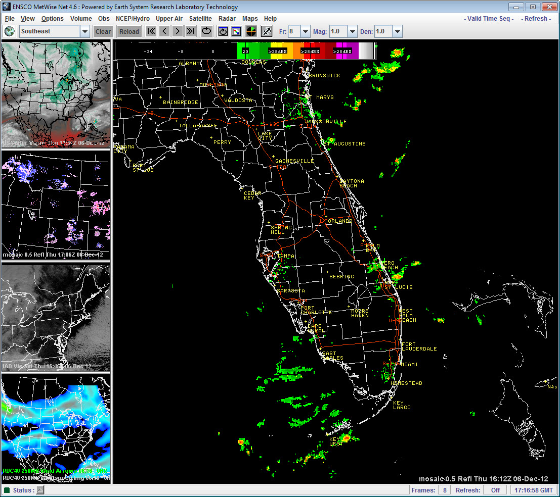
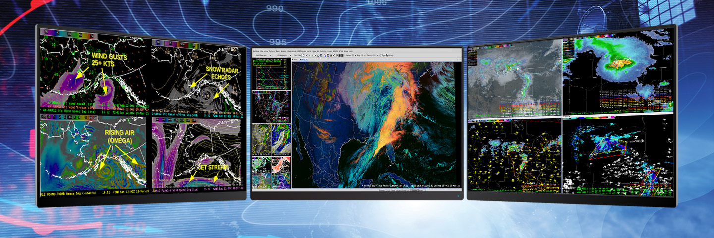
Features
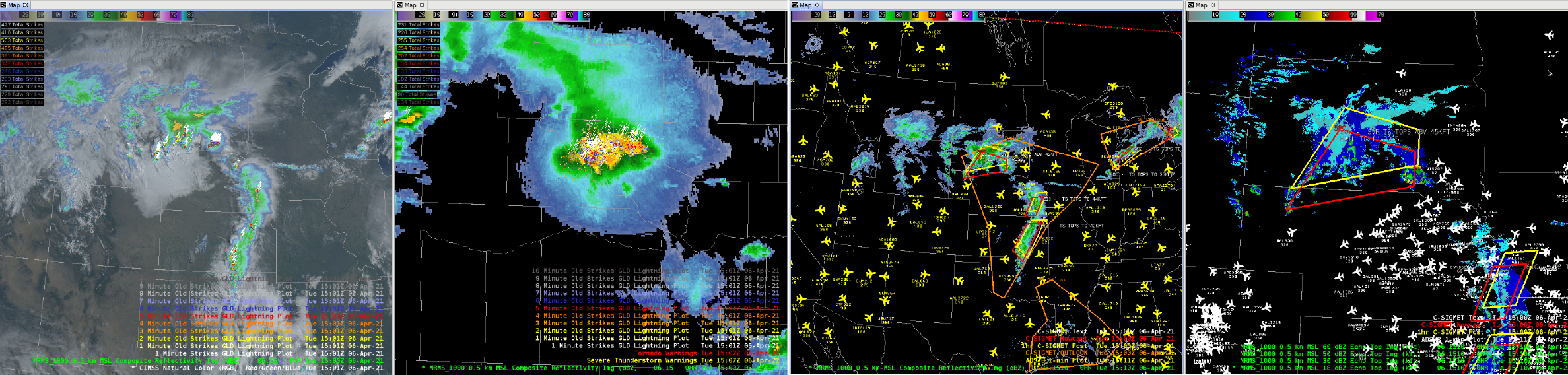
- Intuitive GUI for overlaying and toggling weather fields.
- Customizable to include features supporting mission-critical tasks.
- Macro capabilities for rapid loading of user-defined sets of imagery, model fields, and observations.
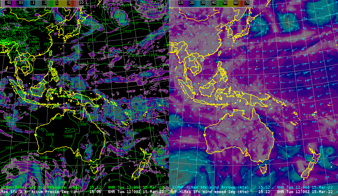
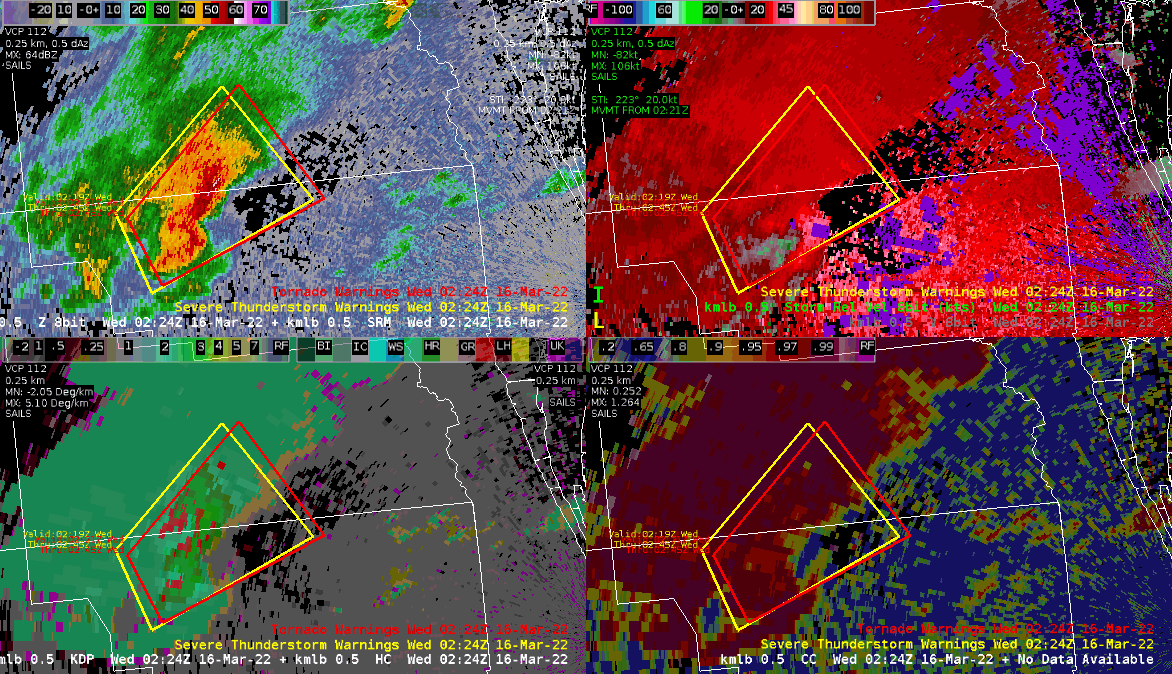
- Integration of diverse data sources including surface and upper-air measurements, lightning detection, NEXRAD radar products, and geostationary operational satellites (GOES)/polar-orbiting environmental satellites (POES) remote sensing imagery.
- On-screen analysis tools for 2-D horizontal planes, vertical cross-sections, sampling, and upper-air profiles.
- High-speed automated data delivery and user-configurable macros.
ENSCO’s MetWise® products were created to help stakeholders clearly and effectively visualize the real-time meteorological data they need to make critical decisions. MetWise collects all types of meteorological information for use in creating and distributing effective tools tailored to your needs.
MetWise Enterprise is a robust weather decision support tool that delivers detailed meteorological and hydrological data for efficient decision-making. Designed for operational meteorologists by meteorologists, it ensures stable and reliable performance tailored to your specific needs.
MetWise Net is an advanced meteorological visualization service that aggregates a wide range of meteorological and hydrological datasets. This Software as a Service (SaaS) version of MetWise includes a web-based interface that allows for simultaneous layering of different types of weather information with complete user control over geographical regions and temporal periods.

