
Make Confident Launch Decisions with Reliable Weather Data
ENSCO atmospheric modeling helps you understand how changing conditions could affect launch operations, supporting safer decisions and more reliable mission execution.
Atmospheric Modeling
Every launch window brings atmospheric uncertainty that can affect schedules, critical assets, and mission success. Atmospheric modeling helps you understand potential impacts before they become operational risks.
ENSCO supports defense launch operations with physics-based models that predict conditions and improve decision-making. Built for military and government ranges, our modeling helps teams prepare for changing conditions with greater confidence.
Atmospheric Models Built for Defense Missions
ENSCO atmospheric modeling systems combine real-time observations with forecast data to predict the conditions that matter most for launch operations. Built for defense ranges, our models provide the insight range safety personnel and mission planners need to make timely decisions with greater confidence.
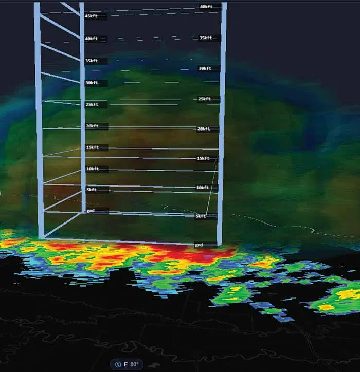
Protect Launch Assets and Schedules
Launch delays and aborts can carry significant cost. Our atmospheric models help you identify hidden weather risks before they disrupt the timeline, supporting fewer scrubs, safer launches, and more predictable operations.
Modeling Grounded in Real Range Data
We combine physics-based models with on-site measurements and remote sensing data. Our approach adapts to each range's terrain, weather patterns, and mission needs, so models reflect actual launch conditions instead of textbook scenarios.
Atmospheric Modeling
Find answers about atmospheric modeling, launch risk assessment, forecast analysis, and operational decision support.

Improve Launch Readiness With Atmospheric Modeling
Connect with ENSCO to discuss how our modeling capabilities can help reduce environmental risk and support more confident launch decisions.