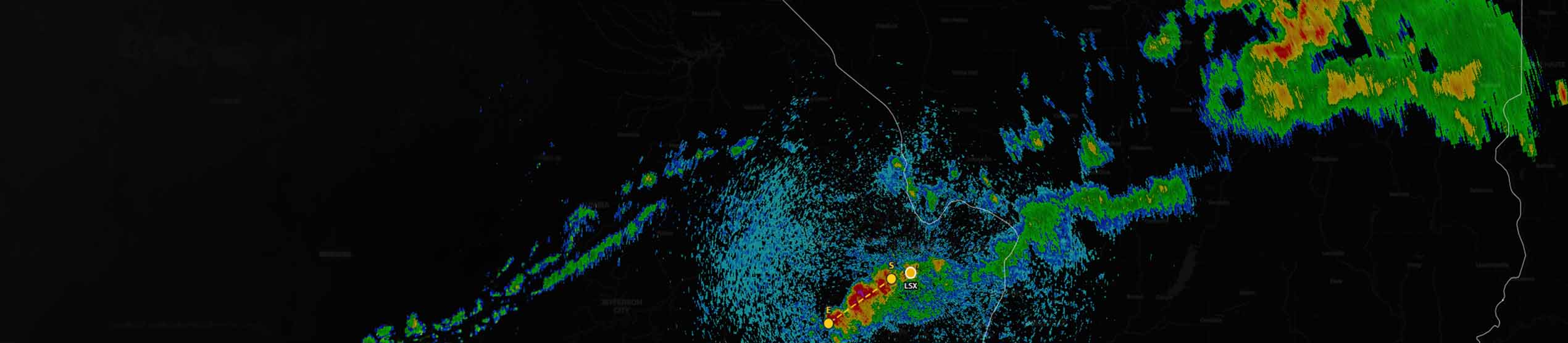
Real-Time Weather Intelligence for Critical Operations
MetWise® brings global weather data, advanced visualization, and configurable workflows into one platform, helping teams make faster decisions when conditions change.
MetWise® – Weather Decision Support Tool
When high value operations depend on weather, uncertainty can slow decisions and increase risk. MetWise gives teams a reliable source for real-time weather intelligence, with the data, displays, and workflows needed to see conditions clearly and respond sooner. Built by meteorologists for operational use, it combines global data feeds, fast delivery, and practical tools that help you focus on the weather factors that affect the mission. Instead of checking scattered sources or waiting for updates, you can work from a shared picture and keep decisions moving.
Visualization and Analysis for Weather-Driven Decisions
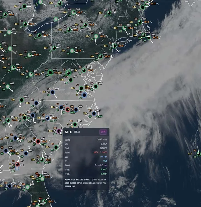
MetWise integrates meteorological and hydrological data from global, national, and local sources. The platform supports layered overlays, high-resolution satellite and radar imagery, and configurable analysis tools. Users can view, compare, and animate multiple weather fields, track severe weather, and create tailored products for operational planning and response. The interface is built for speed and clarity, with interactive mapping, macros for repeatable workflows, and multi-window displays for side-by-side analysis.
99%+ Uptime
Reliable access to weather intelligence during critical operations.
20+ Years of Operational Use
Designed and refined by meteorologists for real mission needs.
Global Data Integration
Ingests and visualizes weather data from national and international sources, including NEXRAD, GOES, ECMWF, and more.

MetWise
Find answers to common questions about MetWise features, deployment, and support.

Talk to an Expert About MetWise
Want to see how MetWise can support your weather-driven operations? Connect with our team for a demo.