Advantages
- Decreased Development Time — Develop displays quickly and easily with IDataMap module integration
- Easy to Use Interface — Easily add an IDataMap application to displays
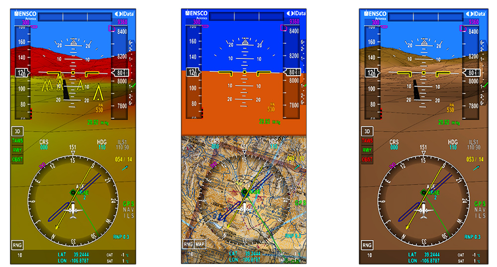
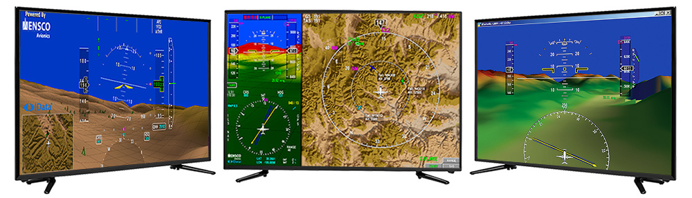
- 2D/3D Terrain Rendering — Create 2D and 3D map displays
- Navigational and Situational Awareness — Display mission-critical data in real time
- Platform Independent – Runs on any RTOS, processor and GPU combination
- DO-178C Certifiable — Certification kit meets the highest Design Assurance Level defined by the FAA